50 million under winter weather warnings as arctic cold moves in; Texas braces for days of ice: Updates
DENVER – Fifty million Americans were under winter weather watches and advisories Monday amid warnings of a "prolonged and potentially significant icing event" affecting at least 15 states.
A swath of the nation from Texas to Ohio and Tennessee was bracing for days of treacherous travel conditions as an arctic cold front swept down into the southern Plains and Mid-South, the National Weather Service said. Freezing rain totals could become significant across parts of central Texas, southwest Oklahoma and central Arkansas, the weather service said.
"The interaction of an arctic air mass and moisture will set the stage for an expansive area of dangerous travel conditions early in the week," weather service meteorologist Craig Snell said. "Sleet and freezing rain accumulations are likely to create widespread hazardous travel conditions for several days in a row."
Icy developments:
A three-day ice accumulation could exceed a half inch over parts of central Texas and Arkansas. Parts of Tennessee could see more than a quarter inch of ice.
In addition to the potentially hazardous travel conditions, scattered tree damage and power outages are possible, the weather service warned.
In Maine, where temperatures are expected to dip as low as minus 14 degrees this week, thousands of residents will begin receiving energy-cost-relief payments of $450.
Monday's forecast calls for heavy rain and flooding in large parts of the Hawaiian islands.
BITTER COLD TARGETS NATION'S MIDSECTION: Texas, Gulf Coast states could see tornadoes: Updates
Icy conditions snarl travel, flight issues affect Texas
More than 1,100 flights, according to flight tracking site FlightAware, were canceled Monday as icy weather hit the U.S. Flight delays also mounted as more than 5,400 flights in or out of the U.S. were delayed.
Most of the delays and cancellations are affecting Dallas Love Field and Dallas-Fort Worth International airports in Texas.
A large portion of Texas, including the Dallas-Fort Worth area, is under a winter storm warning until Wednesday. The weather service warned of treacherous road conditions and told travelers to be cautious while driving.
"Dangerous travel conditions are expected during this time, with icy bridges/overpasses and surface streets," the weather service said Monday.
Denver ties record for cold: 'It's brutal out there'
In Denver, the overnight low hit minus 10, tying the record set in 1985, according to the National Weather Service, which warned of wind chills down to minus 19 degrees at Denver International Airport on Monday, and minus 23 on the state's eastern plains.
"It's really brutal out there," said Andrew Karras, a Denver city park ranger.
Like his colleagues, Karras was checking on unhoused people who had declined to move into emergency shelter. As estimated 2,000 people live unsheltered in Denver. While camping in city parks is illegal, rangers suspend enforcement in cold weather and instead focus on helping unhoused people with hats, gloves, blankets, snacks and handwarmers.
"We're handing out a lot of handwarmers right now. It sounds like a bit of a Band-Aid, but they can help keep people's fingers from freezing," Karras said. "We don't want anyone to die from the cold. That's the most important thing right now."
WHAT DO I DO IF MY FLIGHT IS CANCELED?'Your multitasking skills need to come through'
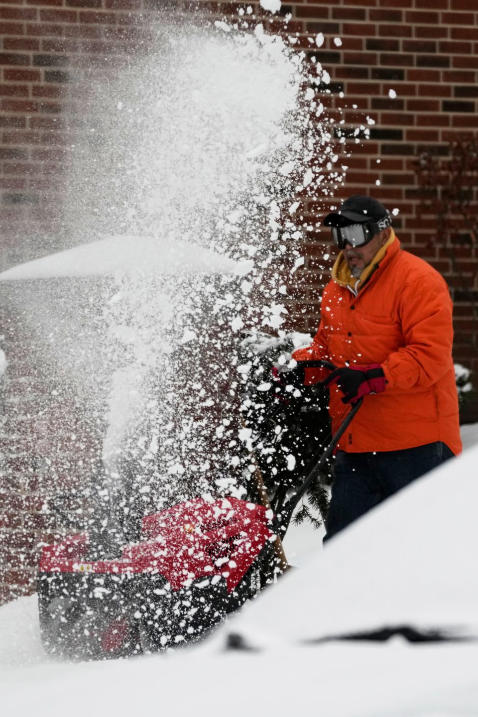
Heavy snow in West, Great Lakes
Heavy snow was forecast over parts of the western Colorado mountains. Travel could be difficult at times for some of the highest mountain passes. Farther east, lake effect snow is likely downwind of the Great Lakes early this week. The heaviest amounts of over 6 inches are possible off Lake Superior and Lake Erie.
Snow was stretching lower than usual in the mountains of Southern California, and snow was falling Monday on Interstate 5 in Grapevine. The weather service said traffic was being escorted over the freeway because of hazardous conditions.
The low snow levels will likely cause travel problems Monday on Highway 14 and other major thoroughfares in parts of Los Angeles and Ventura counties, the weather service said.
WHAT IS LAKE EFFECT SNOW?Here's how it happens and how much snow it can bring with it
Cold front will sweep east, but NYC remains free of snow
Periods of light snow are possible throughout the interior Northeast and Mid-Atlantic as a cold front pushes through by Tuesday. The region then faces several days of temperatures well below average, with some plummeting up to 50 degrees between Thursday and Saturday. Washington, D.C., will see a low of 15 degrees on Saturday; Philadelphia will drop to 10 degrees and Boston has minus 6 degrees to look forward to this weekend.
The cold front is not expected to bring any snow to New York City, which hardly feels like a winter wonderland these days. The city has yet to get any measurable snowfall this winter, defined as at least one-tenth of an inch accumulating on the ground. Never before had New York gone so late in the winter without snow, and a second record is within its grasp.
The current 327 consecutive days without snow are just five short of the longest such stretch, which concluded in mid-December 2020, and there are no flurries in the forecast for the week, according to National Weather Service meteorologist James Tomasini.
“Storm tracks and cold air have been remaining to the north and west of the area,” he said.
TEMPTED TO JOKE ABOUT GLOBAL WARMING IN BITTER COLD?Here's what experts say about that
Dallas-Fort Worth storm warning lasts into Wednesday
In the Dallas-Fort Worth area, a winter storm warning was put in place until 6 a.m. Wednesday. The weather service said mixed precipitation, primarily in the form of freezing rain and/or sleet, was expected. "Significant impacts" to travel may begin as early as Monday afternoon and continue through at least Tuesday night, the weather service said. Elevated surfaces such as bridges and overpasses will be the first to become icy, slick and hazardous as temperatures hover around or below freezing.
The weather service's office in Fort Worth said it had received several reports of traffic accidents by 6 a.m. Monday and repeatedly urged drivers to slow down, particularly on bridges and overpasses, which are prone to black ice.
Farther south in San Antonio, driving conditions were expected to resemble those of the Metroplex later in the day.
"Those in the most impacted areas should consider completing last minute travel plans before midday today," the weather service office in San Antonio said. "Icy road conditions may deteriorate rapidly this afternoon."
WHAT IS WIND CHILL? Understanding the wind chill index and how it's calculated
Bitter cold blasts Midwest, Northwest
The cold air responsible for the icy forecast in the Mid-South also brought a frigid start to the workweek throughout the central U.S. and into some Western states, the weather service said. Temperatures were 20 to 30 degrees below average in some areas facing single-digit high temperatures from the central High Plains to the Upper Midwest on Monday.
"Gusty winds will also create dangerous wind chills, as low as 55 below zero in the northern Plains this morning," the weather service said.
Wind chill warnings and advisories have been issued from Oregon to Wisconsin.
This article originally appeared on USA TODAY: Winter storm warnings abound: Days of ice from Texas to Tennessee

