
Tornado confirmed in N. Brookfield
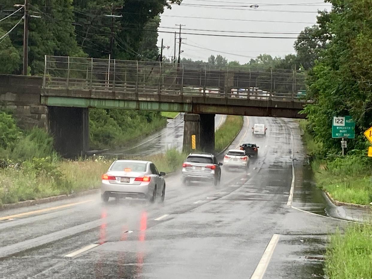
Worcester County was under a flood watch until 2 a.m. Monday as a band of heavy showers was expected throughout the early morning hours, according to the National Weather Service.
The weather service confirmed an EF-0 tornado touched down in North Brookfield just before 11 a.m. Sunday for about a 2-mile path - with only damaged trees in the area.
Heavy rains Sunday stranded some motorists in Worcester, and downpours washed out streets in Fitchburg. Monday's forecast is better, with mostly sunny skies and dry air, with a high temperature in the upper 80s, said meteorologist Alan Dunham at the National Weather Service in Norton.
A tornado watch ended at 3 p.m. Sunday in Central and Western Massachusetts. A combination of tropical moisture, high humidity and a strong jet stream that helped thunderstorms rotate in a tight fashion were the conditions that created the tornado watch, said meteorologist Joe Dellicarpini at the National Weather Service.
There was a tornado warning in effect until 9:15 a.m. Sunday in several communities north of Boston including Lowell, Lawrence, Dracut, Tewksbury and Tyngsboro. A strong rotation in thunderstorms caused the warning.
We can confirm an EF-0 tornado in North Brookfield MA. 2 mile path length. Only damage to trees in the area. Occurred just before 11am. pic.twitter.com/0G5Wz5athM
— NWS Boston (@NWSBoston) July 16, 2023
As for the heavy rains Sunday in Worcester, two cars were trapped under the bridge at Route 20 and Grafton Street because of rising waters. Assistant Fire Chief Adam Roche said firefighters got the call a little after noon and the cars were towed away. There were no injuries.
Other than the stuck cars, Roche said it had been fairly quiet. Rain accumulation had expected to reach 2 to 4 inches and 4 to 6 inches in some areas.
In Fitchburg, several streets and yards are washed out and emergency crews helped pump out flooded basements, said Deputy Fire Chief Chad Courtemanche. The hardest hit areas were around John Fitch Highway and Heywood and South streets as of early Sunday afternoon.
Beyond Monday, the forecast on Tuesday could bring scattered thunderstorms, while Wednesday is expected to be dry. Showers late in the day on Thursday and into Friday are expected.
Contact Henry Schwan at henry.schwan@telegram.com. Follow him on Twitter: @henrytelegram.
Steer clear of Grafton St and Rt 20 in #Worcester. Cars have been turning around to avoid doing what this truck just did. Be careful! #wcvb pic.twitter.com/HZtiYCYlEM
— Brianna Borghi (@BriannaBorghi) July 16, 2023
This article originally appeared on Telegram & Gazette: Worcester, surrounding areas under flood warning until 2 a.m. Monday

