
Evacuation warning issued for Oceano residents near levee as rain storm looms
San Luis Obispo County issued another evacuation warning for Oceano residents near the Arroyo Grande Creek levee ahead of a rain storm.
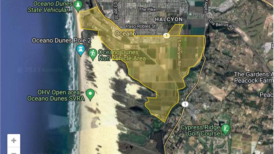
People living in all areas south of the Arroyo Grande Creek channel for one mile and west of Highway 1 are advised to take precautions, the county Emergency Services of Emergency Services said in a news release Monday.
So are those north of the channel and south of Beach Street, or north of the channel west of 19th Street and south of Ocean Street, SLO County said.
Residents south of Pier Avenue and west of Highway 1 should also be ready to evacuate, the release said.
According to the release, community members living in the area around the Oceano Lagoon — south of Pier Avenue to the ocean, north and east of Strand Way and River Avenue and east to the railroad tracks, along the tracks and back up to Pier Avenue — are also under an evacuation warning.
The evacuation warning came just hours after the National Weather Service issued a flood watch for most of San Luis Obispo County that’s in effect from late Monday through Wednesday afternoon.
“Extensive street flooding and flooding of creeks and rivers are possible,” the agency said.
According to retired PG&E meteorologist John Lindsey, rain will start falling in SLO County on Tuesday morning and continue through Wednesday — lifting water levels of local lakes, reservoirs and rivers.
Lopez Lake near Arroyo Grande reached 92.6% capacity on Friday afternoon.
Total rainfall could reach 1.5 to 3 inches, with higher totals in the Santa Lucia mountains, Lindsey said.
Southwesterly winds will likely reach 32 to 46 miles per hour, with gusts up to 65 miles per hour, Lindsey said on Twitter.
“A southwesterly wind event of this magnitude is as rare as hens’ teeth,” he wrote.
“I fear numerous trees could topple since they are conditioned over time to withstand either northwesterly or southeasterly wind events and not from this cardinal heading,” Lindsey wrote. “Along with the unusual incoming wind direction, the ground is saturated, further weakening the soil surrounding root systems.”
This Tuesday, the first full day of spring, a fierce (990 millibars) storm will slam into the Central Coast. This system will produce moderate gale-force to fresh-gale force (32 to 46 mph with gusts to 65 mph) southwesterly (SW) winds. A southwesterly (SW) wind event of this… https://t.co/Gou0uJhTbq pic.twitter.com/vGD2QJhvD6
— John Lindsey (@PGE_John) March 20, 2023

